Tanner Butte – Columbia River Gorge 2/1/11

Garmin Interactive Map

20.7 mi

Elevation Gain:
5,806 ft

Min / Max Elevation:
78 ft / 4,111 ft

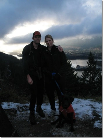
Matt, Dexter, Sadie & I

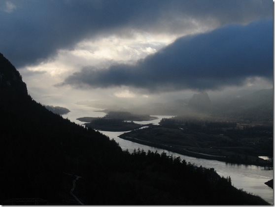
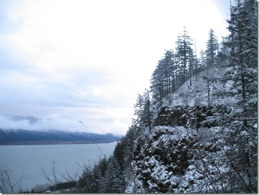
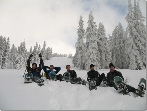
Tanner Butte had been a hike on my ‘ to hike list’ for along time. Its one of the many higher mileage day hikes in the Columbia River Gorge. I had finally dedicated myself to getting an early enough start to have the opportunity to finish before dark.

The trailhead starts in an awkward spot right off of exit 40 (Bonneville Dam). You can either park at the Wahclella Falls trailhead (just to the right/South as you come off i84) or the Tooth Rock parking lot (just left/East at the fork). Tooth Rock parking is free and is known for access to the Columbia River Gorge Historic Highway that has been converted into a walking / biking path in different sections. Tooth Rock is just West of Eagle Creek (Punch Bowl Falls & Tunnel Falls) and serves as the trailhead for Wauna Viewpoint. We parked at the Wahclella Falls trailhead (requires a NW Forest Pass) .

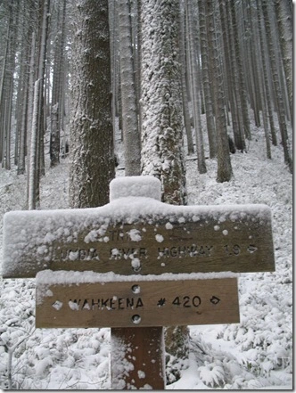
From the parking lot you walk back (North) towards i84 where the road forks – the hike begins here. The trailhead is halfway decently marked, but beyond this good luck…

Matt and I brought information about the hike; however, it did not completely help as there were many unmarked and obscure roads. We explored a few roads and one finally led us to the top of some ridge dead-ending. Discouraged as we were hiking down we started to plot our itinerary for the rest of the day – possibly hitting up a couple other hikes in the area. We ended up giving it one last shot and found the correct road, which led us to the Tanner Butte Trailhead … finally!

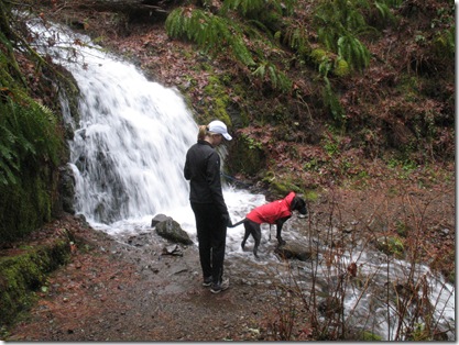
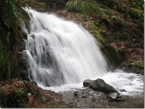
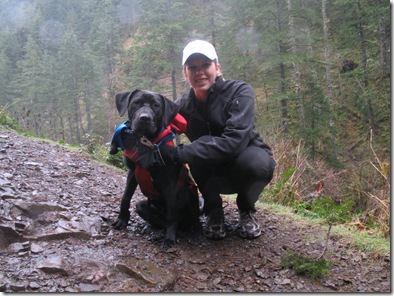
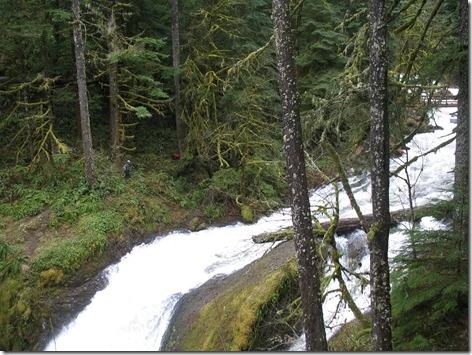
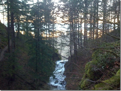
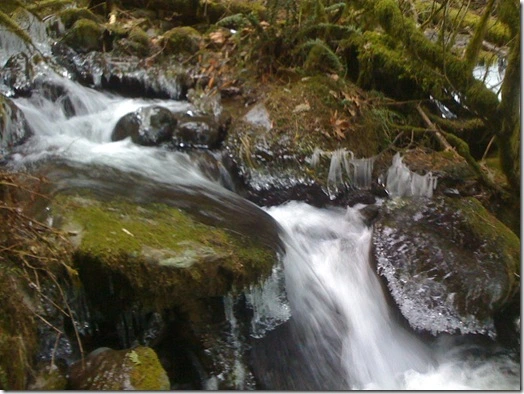
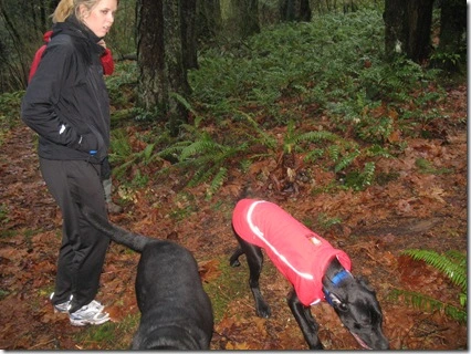
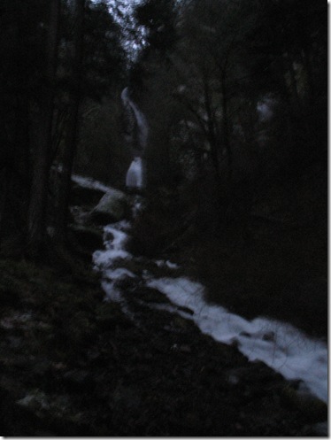
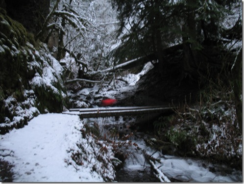
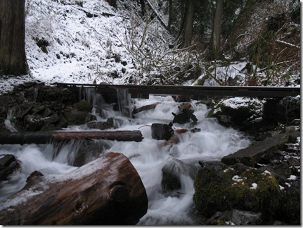
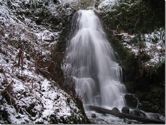
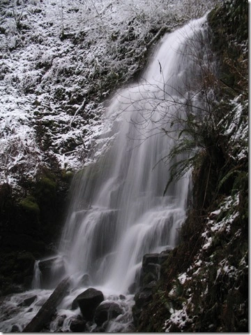
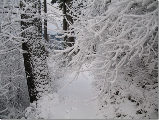
Apparently back in the day you were able to drive to the real Tanner Butte Trailhead. From the get-go the trail is beautiful! It starts with a series of small cascading waterfalls. We had to hike across a small icy creek that required some rock-hoping preplanning to prevent getting wet. My dog Dexter loved walking through the creek hydrating while my brothers dog Sadie is still deathly afraid of water. Sadie would not budge – I had to grab her scruff and pull her across the creek. This didn’t wade well for my feet as they got slightly damp with many more miles to go.

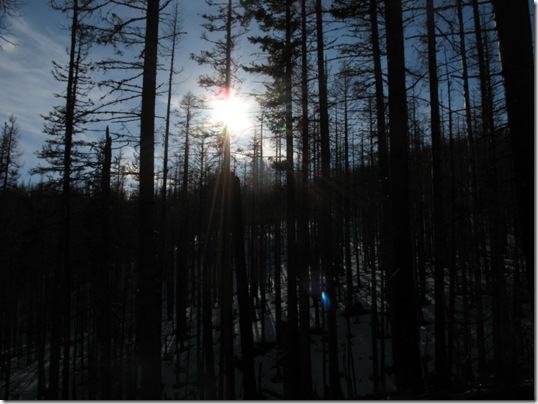
There was a strong East wind that kept the air brisk – chilly brisk that is! Needless to say, I wasn’t willing to bust out my camera much and sacrifice my hands freezing. Much of the hike we stayed in the dense forest somewhat protected from the wicked East wind of the Columbia River Gorge.

IMG_2615

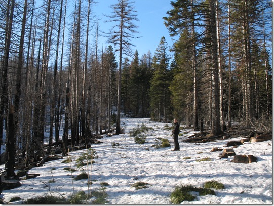
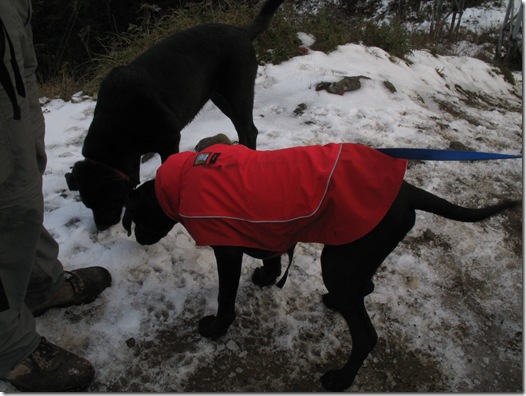
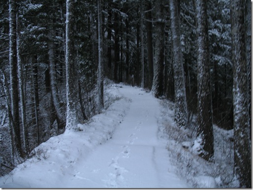
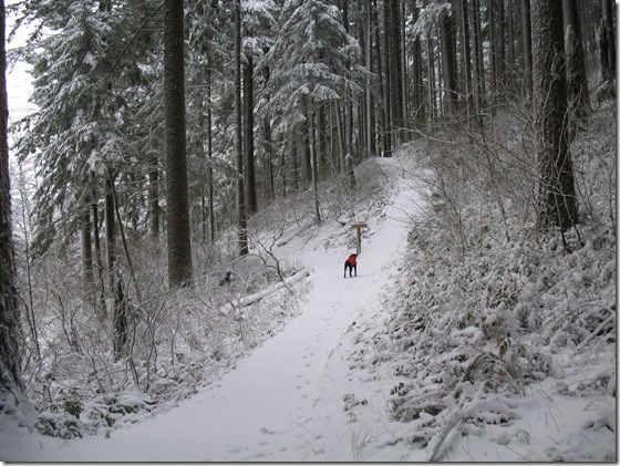
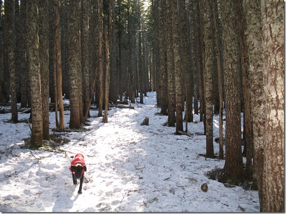
[The Snowy Tanner Butte Trail – Dexter loves to run ahead]

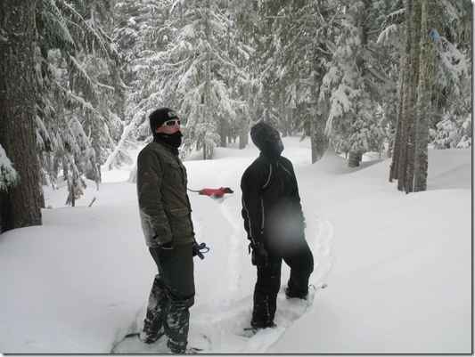
Luckily once we got onto the Tanner Butte trail it was mostly easy to follow. As you can see above the trail clearly cuts through the forest. Sections of the trail we hiked were actually an old road. There was a few areas where it almost got away from us (due to the deceiving snow) that we took loose tree limps and logs to clearly mark  the trail to see on the way back.

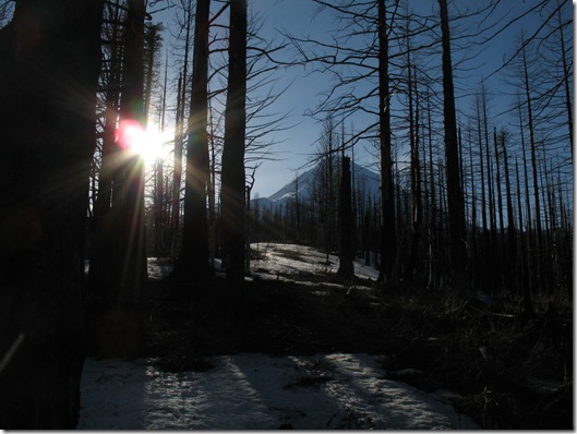
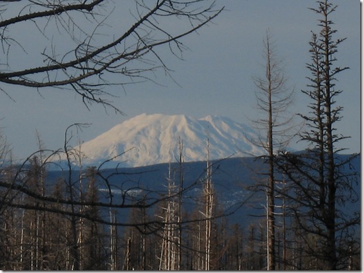
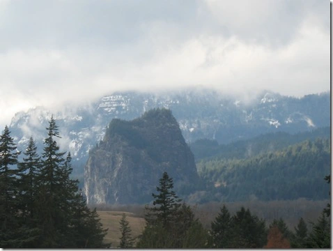
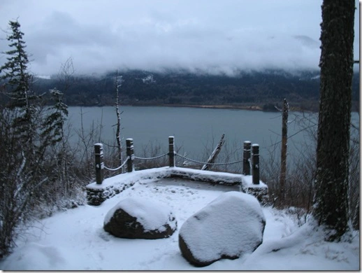
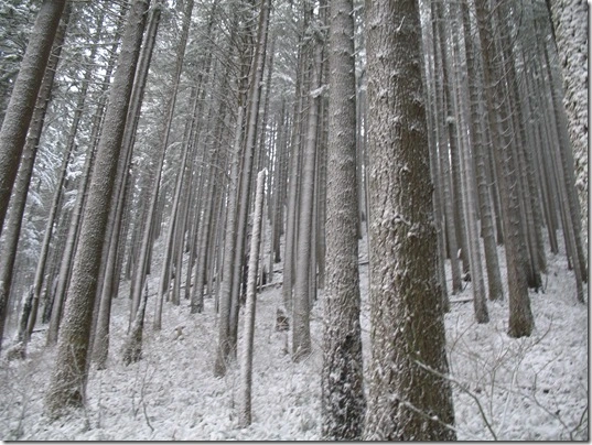
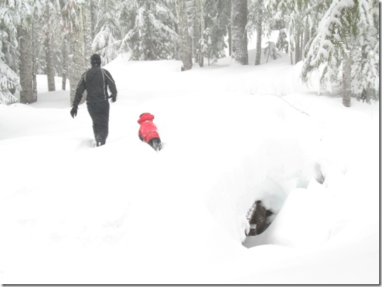
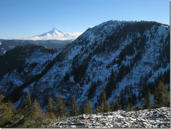
The snow level had been at a high elevation for awhile leading up to this trip, but since much of the trail hikes through dense forest the snow is protected from the sun leaving us to hike though it. Most of the way the snow was firm and icy. As the snow melted off the tops of the trees the moisture created divots in the snow – this was definitely wearing on your feet and ankles causing your foot strike changed constantly. Hiking a few miles through this type of terrain slowed us down tremendously. As we reach a vista we felt like we were near the summit, but it was a false summit – a beautiful vantage point though!

IMG_2619

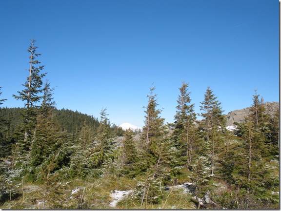
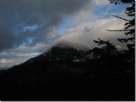
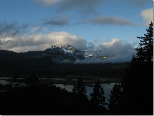
[Mt Hood with Tanner Butte in the near distance]

It was starting to get late in the day so we had to make some difficult decisions. From the ‘false summit’ we decided to give the summit a shot. After a half mile or so the trail disappeared as did our summit fever. The snow had gotten thicker and icier and the forest had grown a few too many trees leaving us to poor visibility. Just a few hundred vertical feet from the summit we decided it was best to not show up in the news and turn around.

IMG_2620

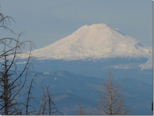
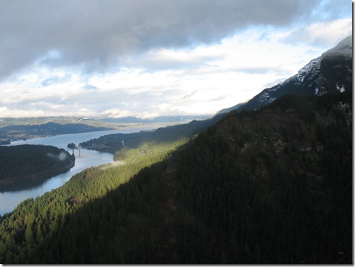
[Mt Adams in the distance]

When hiking you see so many different things – when you are leading vs following or when you are going ‘out’ or coming ‘back.’ As we were hiking ‘back’ we got a glimpse of Mt Adams in the distance.

IMG_2621

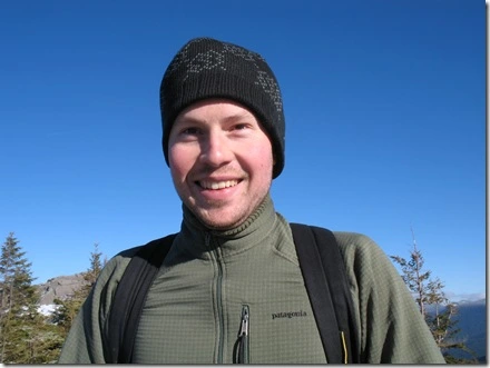
[Matt in good spirits]

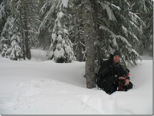
The decision to turn around or keep trekking is a difficult one to make. Like many, I want to reach my final destination – the summit! However, there are many factors that are considered prior to turning around – time/day light, trail conditions, supplies packed, individual’s fatigue. We probably would have been okay, but didn’t want to risk coming back to the wrath of our significant others for arriving way late 😉
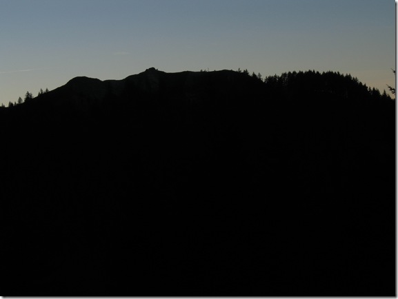
IMG_2624[Munra Point just West of us]

On the way back we took full advantage of the downhill keeping a solid pace. With just a couple miles left the sun started to set behind the might ridges of the Columbia River Gorge. It made for a cool shot of Munra Point and reminded me of how steep of a climb it was!  We arrived back to the car just as it was nearing complete darkness. The dogs fell asleep instantly as they probably put in double the mileage we did!
Cooper Spur / Tilley Jane Area 1/22/2011

Garmin Interactive Map

3.91 miles

Elevation Gain:
1,401 ft

Min / Max Elevation:
3,803 ft / 5,213 ft

Kristin, Dexter, Myself

Cooper Spur is located on the Eastside of Mt Hood. Cooper Spur is a smaller resort (hotel/cabins) with one ski lift. The last few winters the resort itself hasn’t had the greatest snow winter with having to be closed much of the season. This side of the Mountain is a nice escape as it is much less busy compared to Highway 26 side with Timberline Lodge, Ski Bowl, Summit and Mt Hood Meadows traffic coming from Portland.

IMG_2612

The trailhead is just above Cooper Spur Resort off of the Cloud Cap Road. This trail is popular for snowshoers, cross-country skiers, snowboarders, and climbers. Typically most people hike to the Tilley Jane Cabin area, which is about a 5 mile RT hike. During the winters the conditions beyond Tilley Jane toward Cooper Spur (Top of Spur – 9,000 ft) can be wicked windy. During the summer time the trail is heavily used by hikers as it accesses the Timberline Trail#600 (Loop around Mt Hood).


IMG_2613

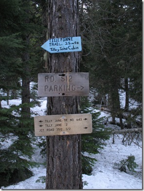
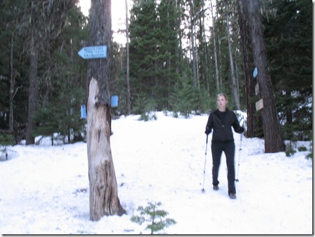
[Trail is well marked]

This area has changed dramatically over the last few years due to major wildfires. The Gnarl Ridge Fire burnt many acres leaving behind limbless trees. Prior to the fire the forest was dense and cozy feeling – now the terrain is much more open with just burnt trees standing behind. With the help of mother nature the forest’s openness provides much clearer views of the Cascade Mountain Range.

IMG_2571

[Looking into the Valley through the burnt trees]

IMG_2585

[Mt Hood]

IMG_2600

[Mt St Helens]

IMG_2602

[Mt Adams]

Sadly, there wasn’t any fresh powder or really any snow. I had packed our snowshoes thinking we may use them on a few steep parts, but it wasn’t necessary as other hikers had imprinted the trail with their large snowshoe prints creating a stairway to Tilley Jane.

IMG_2572

[Snow Hiking]

I was surprised how little snow there was and how many bare spots lay at 5,000 ft in the dead of winter! It definitely made hiking less tiring minusing out the extra weight of snowshoes on the feet.


IMG_2609

[Dex & I]

IMG_2610

[Kristin & Dex]

This is a popular trail for dogs. Most of the dogs (huskies) we saw were more winter-fit compared to our short-haired friend Dexter. Dexter definitely got a workout in sprinting up and down hills investigating the trail ahead. We discovered afterwards that Dexter’s paws were a little raw due to the ‘ice’ so it might be wise to get some booties for these types of conditions in the future…


IMG_2603

[Cloud Cap Cabin]

We decided to turn back before making it to Tilley Jane due to the sun setting. I tried reassuring Kristin that I had headlamps and it would be doable – needless to say we turned around and headed for Hood River. We hit up Big Horse Brew Pub in Hood River for a quick burger and brew before making the trek back to the city..

Triple Falls – Columbia River Gorge 1/17/11

Garmin Interactive Map

5 miles RT

Min / Max Elevation:
45 ft / 683 ft

Elevation Gain:
2,849 ft

Kristin, Dexter & I

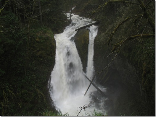
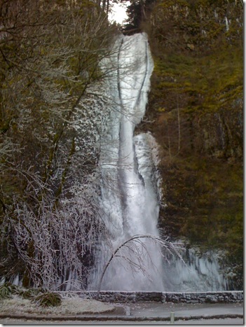
We had ventured up Horsetail / Ponytail Falls way a few weeks earlier experiencing some extremely cold temperatures and icy landscapes. The combination of the Columbia River Gorge’s strong winds and cold temps are a recipe for beautiful frozen waterfalls. This time around the temps were much warmer and the water levels much higher. The jump in warmer temps, snow melt and massive amounts of rain put many areas in flood danger.

IMG_2561

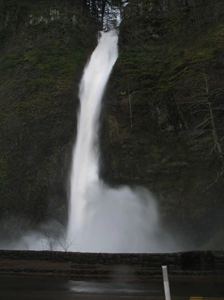
[Horsetail Falls]

I had never seen the waterfalls flowing with this amount of water ever. They were extra powerful with an intense plummet creating a massive mist soaking everyone around. There were many people hanging out in awe – we were lucky enough to sag a parking spot before the crowds started to flock. I snapped a few pics and let Dexter pull me up the trail..

IMG_2556

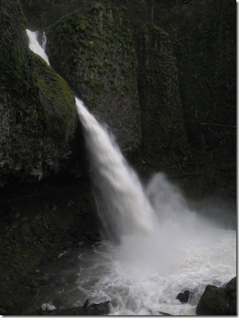
[Ponytail Falls]

IMG_2559

[Kristin & Dex gearing up to get soaked]

IMG_2554

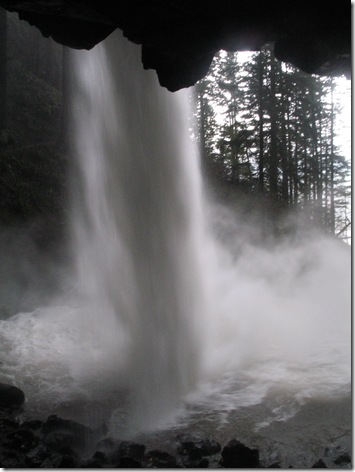
[Beneath Ponytail falls]

IMG_2552

Hiking along the stretch of trail beneath Ponytail Falls it was nearly impossible to hear anything but the sound of falling water. Underneath the waterfall is an eerie feeling as you see and feel water leaking through the rock above and hear the intense vibrations from the water flowing off the rock from which you are standing beneath.

As you continue hiking around to the other side of Ponytail Falls prepare yourself for a water-soaker. As we pop out the other side I always put it into high gear hiking quickly through the 100 ft of trail you are most vulnerable to the cold misting waterfall.

IMG_2533

[Oneonta Gorge]

Oneonta Gorge in the summer time is a fun hike wadding through waste deep water at times. I was interested in seeing the gorge with this amount of water – I’d never seen it so high and with so much ‘white water.’

IMG_2532

[On bridge just above Oneonta Gorge Falls]

With all of the water the area had received and the quick change in temps this had created some good landslides.

IMG_2502

[We noticed a few new creeks and waterfalls along the trail]

IMG_2515

[Dex lovin the water]

IMG_2517

[Much more water than usual making creek crossing interesting at times]

IMG_2526

[Kristin & Dex atop Triple Falls]

IMG_2521

[Triple Falls – hmm more like double falls..]


IMG_2512 [Checkin things out from the other side of the falls…]

I always enjoy hiking trails during all seasons as they are dramatically different from season to season. Just be sure to stay safe and be alert during this time of year with huge potential for trees falling and landslides.

Horsetail / Ponytail Falls Icy!

1.5 mile RT

Garmin Interactive Map (.5 mi to Ponytail Falls, .25 mi to Top of falls)

I always enjoy heading out to the Columbia River Gorge when them East winds blow the arctic breeze through. The ice-glazed or even sometimes just iced over waterfalls are a beautiful site that is pretty incredible to see!

On this particular day the temperature was high 20’s with a killer wind chill from the East.


Horsetail Icy - 01

[Horsetail Falls]

Horsetail falls is always a powerful flowing waterfall year-round. The combination of its powerfulness and the chilly East wind created its own little ice climate. The wind blew the water willy-nilly causing it to freeze wherever landing (ODOT was quick to lay sand/gravel on large icy patches of road).


Horsetail Icy - 05

[Ponytail Falls]

Our original plan was to make a short trek up to Triple Falls; however, the ice was way intense and impassable with the gear we had or didn’t have. Ponytail Falls consistently sprays water West – with the icy temps this has caused a 30 + foot section of the trail to be a thick layer of ice. Hiking up to this point we saw other hikers ‘snowshoeing up’ simply to cross this treacherous section – we laughed until we approached the same section….

Horsetail Icy - 07

The extremely thick layer of slippery ice and a slight uphill grade were enough to turn around without snowshoes or crampons – after of course at a poor attempt. Dexter and I slowly hobbled with one trekking pole up a few feet until Kristin made the executive decision of turning around. It was even more scary to go back the 10 feet. Dexter started pulling me being the catalyst for my not-needed-speed as I ice skated downhill. Luckily the combination of my trekking pole and Kristin at the bottom I was able to regain control and not die.

Horsetail Icy - 15

[Above Ponytail Falls]

After just a mere .5 mile of hiking I knew this wouldn’t suffice Dexter’s need for high mile exercise. We turned back and hiked up above Ponytail Falls. The trail is unmaintained and steep. This trail actually continues onto Rock of Ages and Bell Creek area allowing you to do a loop depending on your ambition.

Horsetail Icy - 14

[Ponytail Falls flowing downward as waterfalls do.. ]

Horsetail Icy - 10 [Creek above the falls fast-flowing and icy]

We ended up hanging out above Ponytail falls for awhile taking in the winter-wonderland. There is a solid area to chill and potentially camp if you wanted – although there are many better places to camp. Just being .5 mi from the road you can hear the traffic, trains and people. I personally enjoy the feeling of remoteness and crowd-less-ness. At any rate this 1 mile round trip is always a fun little jot and well worth it.

Wauna Viewpoint… Again! 11/28/2010

Garmin Interactive Map

4.27 mi

Elevation Min / Max:

190 ft / 1,095 ft

Brain, Daisy, Kristin, Dexter & I

Wauna Viewpoint has become a favorite of mine as it is relatively close to Portland (exit 40), lightly traveled, and offers great views of the Columbia River Gorge in a short and not too difficult hike.

We decided to hike Wauna Viewpoint this day because we wanted the dogs to be able to run and not have to worry about them falling off a steep switchback.

IMG_2358

[Snow covered hilltops]

 IMG_2327

[Looking West at Beacon Rock]

The snow level had dropped tremendously earlier that week and dusted the cliffs of the gorge.

We always start from Tooth Rock Trailhead verses Eagle Creek as it is closer and usually less crowded. The trail isn’t well marked so it is wise to bring a map especially the first time hiking this one. Even after a few times of hiking Wauna Viewpoint the cut off trail can be difficult to spot as it becomes overgrown by vegetation.

Once you’ve spotted the cut off trail just keep hiking up…

 IMG_2329

[Near the ‘fork in the trail’ – continue ‘up’ hiking left / East] 

In just a couple of miles you are above the trees and have a great view of the Columbia River Gorge in no time.

IMG_2331

[Looking North towards Washington with Bonneville Dam and the Columbia River below]

 IMG_2338

[Washington Cliffs]

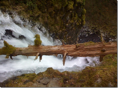
This was Dexter’s first time meeting Daisy – they were excited as they ran up and down the trail. They probably put in 3 times the amount of distance as we did! As we approached the rock cropping we noticed the dogs running ahead and barking. Luckily they were smart enough to not run down the steep rocky hillside after this good sized buck…
IMG_2334

[Buck about 150 yards down the hillside]   

Once we reach the top of Wauna Viewpoint there was an inch or so of snow. The views were pretty sweet with the low clouds, snow covered hills and sun peaking through.


IMG_2342

[Looking East – Can you spot the Bridge of the Gods / Cascade Locks?]

IMG_2343

[The dogs lovin the snow..] 

  IMG_2351  [Looking West as the sun is getting ready to set]

IMG_2355

[Happy Family]

Here’s Wauna Viewpoint back in May 2010..

Multnomah Falls – Wahkeena Falls Loop 12/18/10

Garmin Interactive Map

5.45 mi

Min / Max Elevation:
51 ft / 1,578 ft

Dexter & I

Waterfalls Along hike: Wahkeena Falls, Fairy Falls, Dutchman Falls, Wiesendanger Falls, Multnomah Falls and a few others even!

The Multnomah Falls – Wahkeena Falls Loop is one of my favorites in the Columbia River Gorge. It is just a quick 35 minutes from Portland, Oregon and you see many waterfalls over the course of just 5 miles. (Check out the last time I hiked it in FEB 2010)

Multnomah Falls area is a high populated area so whenever hiking in this area I try to get an early start to beat the crowds. Dexter and I started hiking in the dark…

IMG_2388

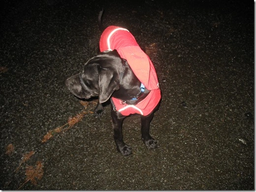
[Dex sporting his Ruff Wear Rain Jacket – Sweet reflectivity! ]


IMG_2386

[Quick shot of Wahkeena Falls before hiking up… ]

Once we hiked above Wahkeena Falls to Lemon’s Point daylight was finally amongst us.

IMG_2390

[Looking East – Can you spot Beacon Rock?]

IMG_2392

[Lemon’s Point looking North at Washington]

IMG_2393

[First tracks – I love being the first on the trail!]

IMG_2394

[Dex loving the snow]

This hike is straight up and straight down bringing a nice burning sensation to the legs. However, with multiple waterfalls and creeks along the way it makes it worth it.

IMG_2396

[Dexter – a blur]

IMG_2399

[Love the snow and raging creek]

Fairy Falls reminds me of a miniature version of Ramona Falls (near Mt Hood along Timberline Loop Trail). I think it looks cool with water flowing down a rock face – It bounces off each ‘rock stair’ creating an unique waterfall.

IMG_2402

[Fairy Falls]

IMG_2404

[Fairy Falls]

Not far after Fairy Falls you approach a trailhead – both ways will lead and join up again. I usually choose the Vista option (left) as you get some great views of the gorge. The other way (to the right) leads you through a dense forest (has the feeling of an old growth forest) joining up later at the bottom of Devils Rest. Hiking through the dense forest is the better option if there’s been heavy rain as the Vista Trail becomes extremely muddy.

IMG_2405

[Snow covered trees]

IMG_2417

[Bottom of Devils Rest – also where the Vista Trail / Forest Trail rejoin]

IMG_2415 [Looking up at the climb up to Devils Rest – its brutal especially since the reward isn’t the greatest]

IMG_2416

[Looking up at Devils Rest…. not today!]

Once you hit this section of trail it plateaus for awhile then begins to descend to the Multnomah Falls / Larch Mountain trail while paralleling the Columbia River.  Along the Multnomah Falls / Larch Mountain Trail you parallel Multnomah Creek (fed by Larch Mountain Snow Melt) there are multiple waterfalls.

IMG_2443[A Beaver Dam strategically placed in the calm of the creek]


IMG_2447

[Multnomah Falls]

The highest point along the trail was about 1600ft – here there was 2-3 inches of snow. Descending from the top of Multnomah Falls there was little snow on the trail and then none as I hiked below 500 ft. A solid early morning hike and no better way to complete it, but with a warm cup of hot chocolate at the Multnomah Falls Visitors Center!

Snowshoeing – Government Camp Area 12-29-10

Garmin Interactive Map

2.89 mi

Min/Max Elevation:
3,971 ft / 4,328 ft

Andrew, Cole, Dexter & I

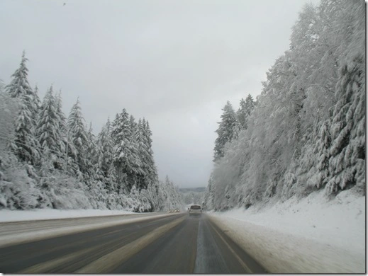
Huge winter storm had rolled through the Cascade Mountains dumping massive amounts of fresh white beautiful snow leaving us with no other choice but to go play in it. It was hardly a secret as we noticed everyone and their mom heading up to the mountain. The snow covered areas heavily as low as Sandy, Oregon. The drive up was slow as many rooky-mountain-goers pushed the limits of their unsavy-unsafe-mountain mobiles.

Many people hate chaining up, myself included! However, the problem is many people don’t chain up until they absolutely need to – usually when their mountain mobile starts to slip or even worse when they loose control. This was somewhat the case as we headed up. This created a mall of traffic going up highway 26.
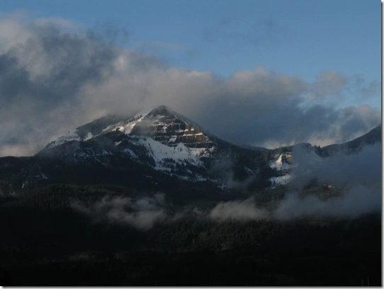
IMG_2490[Highway 26 – before the dead stop traffic jam]

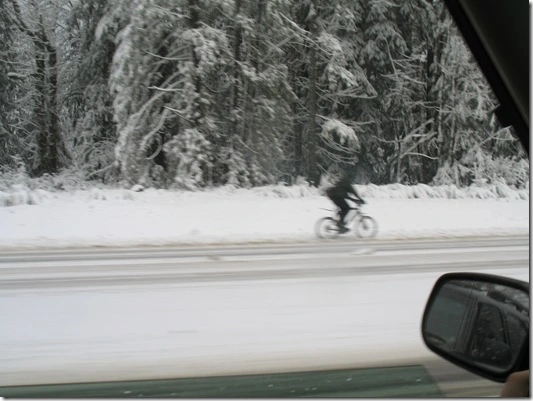
As we approached the ‘silent rocks’ there was a large icy patch causing the ill-equipped cars to completely loose control – sliding ever which way and even doing 180s. Before reaching this area we saw one hell of a brave sole out braving the conditions on the unthinkable – a bicycle. Stupid or brave at this point he was probably moving just as fast as the cars heading up to the mountain.

IMG_2491

[Hardcore, Brave, and stupid bicyclist]

Partly due to time constraints, the stubbornness of not wanting to pay to literally go the extra mile for gas and the urge to drink good beer at the Mt Hood Brewing Company we started from Summit Ski Resort / Government Camp.

Andrew and I have had a few snowshoeing adventures that have started from this point (Gov Camp) and that have barely and miraculously somehow ended here as well. Our last adventure was snowshoeing from Government Camp to Timberline lodge … and back 😦  – a steep 2,000 ft elevation gain! Somehow we survive this one.
IMG_3214 [Near Timberline Lodge w/ the Mt just barely visible behind us]

This outing was much different. Cole was a first time snowshoer and was promised no near death situations.

There is a multitude of trails in this area and many are even marked. We usually parallel the ski run then veer off into the untracked powder. I really enjoy snowshoeing because it brings more solitude than hiking – especially if you are bush-waking sort of speak.

IMG_2495

[Cole, Andrew and Dexter – Dexter was our trailblazer]

IMG_2498

[Crossing over a bridge… barely visible]

IMG_2500

[Dexter and I – Dexter has icicles hanging from his mouth]

This was Dexter’s first time in the deep white snow and he loved it. He is still a puppy and doesn’t understand pacing so he was out for the count even a few days after.

Table Mountain 10/26/10

Garmin Interactive Map (Garmin 405 died during this hike)

16 Miles

3350 Elevation gain

Matt, Myself

Table Mountain is a great hike with great rewards – the great rewards / views are why people hike it on a clear day. Those of us who choose to hike it on a day such as this are idiotic and just looking for a good challenge or workout.

Many people choose the shorter approach to Table Mountain – the Aldrich Butte Trail, which is 8 miles. This trailhead is located just West of the Bonneville Hot Springs Resort. Matt and I decided to mix it up with starting from the Bonneville Dam Trailhead, which is double the miles – 16miles in all.

From the Bonneville Dam Trailhead you begin hiking along the Pacific Crest Trail. I am always a fan of hiking on the PCT as it is usually well maintained, offers some of the best views, and plus of its notoriety.

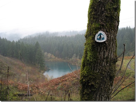
About 3 miles into the hike we hit Gillette Lake. At this point the rain was a heavy constant mist making it feel like we had took a dip in the Lake.

IMG_2259[ Gillette Lake w/ the PCT Trail Marker]

Despite our current wet state we hiked on hoping to get above the freezing level soon in hopes of some dry snow verses the wet rain.

We hiked…. hiked… and hiked….

It rained…. rained … and rained…

IMG_2221

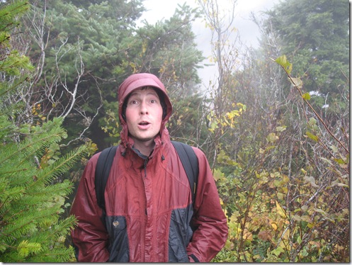
[Matt being a good sport despite being wet, tired & hungry 🙂 ]

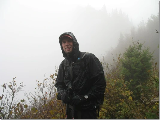
IMG_2225 [Me – wondering where the top of table mt is! ]
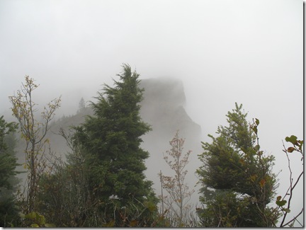
IMG_2222 [Table Mt? Please! ]

[Table Mountain – Snow at the top]

2010 - 736

[My poor Garmin 405 – hmmm not so waterproof!]

My garmin apparently was exposed to an extreme about of rain causing it to loose its waterproof-ness. No one or thing should ever have to endure that much rain… ever! Needless to say I called up Garmin and they happily credited me and I happily upgraded to the garmin 310 (20 hr battery life vs the 405’s 8 hours).

[Garmin 310xt]

The Garmin 310 is an amazing gps watch for the avid cyclist, hiker, runner, snowshoer, etc… It gives you quick and mostly accurate stats like elevation, distance, speed, and heart rate. In addition, the watch even features a map tracking your waypoints. With the map function and easy to read data fields the computer-sized watch is justified – Although if you wear it out on the town you may look like a home school kid and be hackled until performing the quadratic formula as it is similar to the size of the infamous calculator watch.

Crater Lake Trip

This is a recap of our trip to Crater Lake. Click on the links for more information about a particular area… Enjoy! 🙂

Day 1

McKenzie Scenic Highway

IMG_1906 IMG_1873

Proxy Falls


IMG_1920

Dee Wright Observatory

Bend, Oregon

bend brewery

Bend Brewing Company

IMG_1965

Soda Creek Camping

(A couple great hikes in the area – South Sister& Black Butte)


Day 2

IMG_1994

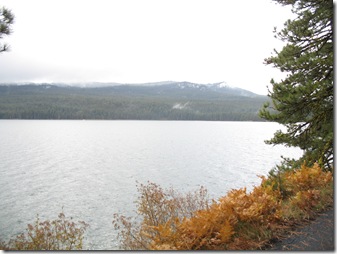
Diamond Lake

IMG_2017

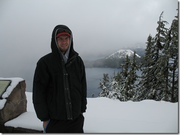
Crater Lake


Day 3


Prospect, Oregon

IMG_2033

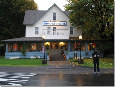
Historic Prospect Hotel

IMG_2042

Pearsoney Falls

IMG_2113

Mill Creek Falls

IMG_2119

Barr Creek Falls

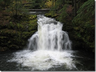
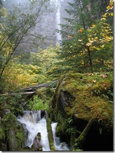
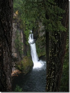
Highway 138 Waterfalls

IMG_2140

Clear Water Falls

IMG_2164

Whitehorse Falls

IMG_2173

Watson Falls

IMG_2196

Toketee Falls

IMG_2205

Colliding in Glide

Prospect, Oregon – Crater Lake Trip

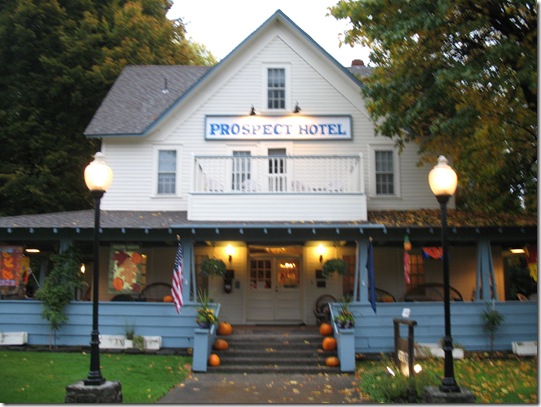
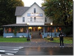
After visiting the Winter Wonderland up at Crater Lake we finally arrived to Prospect, Oregon. I had been given a free nights’ stay at the Historic Prospect Bed and Breakfast from Travel Portland and was very eager to use it.

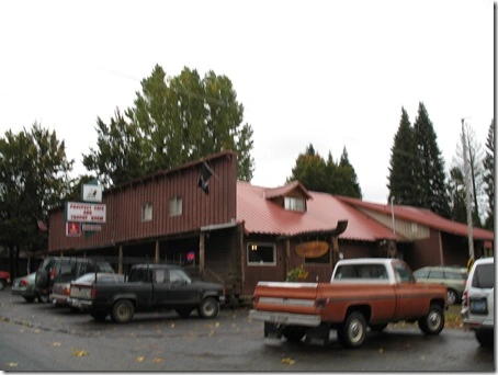
We were a tab bit early for checkin so we did a little exploring. Prospect is a small town – school, post office, gas station, tavern and of course the Historic Bed and Breakfast. We quickly found ourselves at the Tavern with a microbrew in hand. We enjoy visiting different pubs as they all have an unique feel.


 IMG_2133

Kristin and I had never experience the Bed and Breakfast deal before and did not know what to expect. The Prospect Bed and Breakfast is a beautiful Historic house that is listed in the National Register of Historic Places as it was built in the 1880’s. The house is quaint with history lining the walls.

IMG_2031

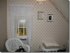
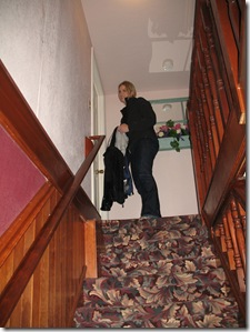
We we given the John Muir Room at the Historic Bed & Breakfast Hotel.  It was located on the 3rd floor – no elevators… Kristin didn’t like hauling her stuff up 3 flights of stairs much. The room was small and had all the necessities. We quickly enjoyed climbing up and down the 3 flights of stairs as we learned more about the place with the plethora of historic pictures and articles displayed. Being placed in the John Muir Room was cool too as he was a great wilderness explorer back in the day.

IMG_2023   IMG_2028     

IMG_2060IMG_2033IMG_2059

[3 Flights of Stairs up… ]

Just a short 10 minute stroll from the Hotel are a few cool waterfalls. With the abundant amount of the rain one positive thing about it was the waterfalls looked much more powerful.  Before breakfast we walked to Pearsoney Falls - 

 Garmin Interactive Map

IMG_2056   IMG_2042 

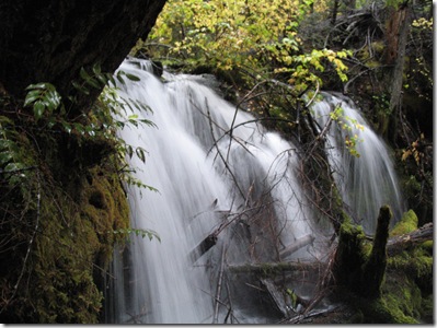
[Pearsoney Falls – 10 minute walk from Hotel]

  IMG_2067IMG_2064

[Close Call!]

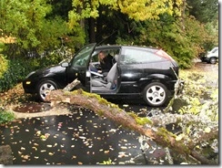
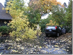
There was a huge storm that rolled through that entire area with some intense precipitation and wind. The SUV parked next to us wasn’t as fortunate as our car – he got hit and dented up pretty bad.

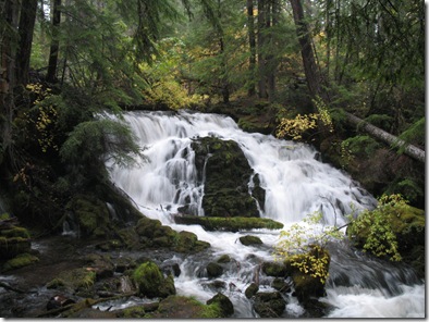
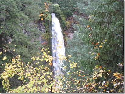
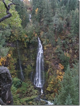
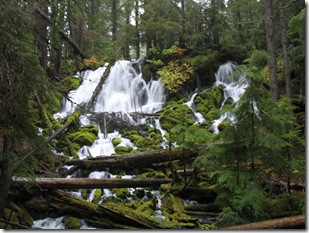
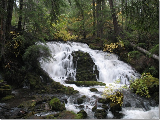
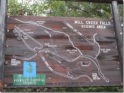
After breakfast we ventured back to the waterfall scenic area. The avenue of boulders and mill creek falls are an amazing geological site.


Garmin Interactive Map

IMG_2068

IMG_2069

IMG_2093

   IMG_2084

  IMG_2119 IMG_2109

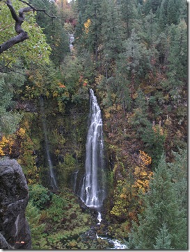
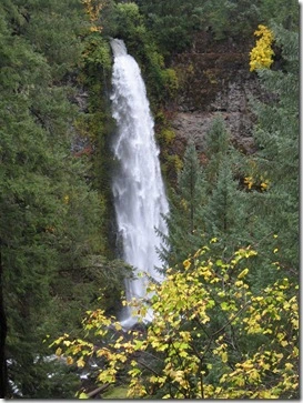
[Mill Creek Falls & Barr Creek Falls]

The Historical Prospect Bed & Breakfast was an excellent place close to Crater Lake. It was awesome to have the ability to walk from the Hotel to the Mill Creek Scenic Area. Also, the food at the Hotel’s Dinner House was phenomenal! For dinner I went with the grilled rib eye and a fine bottle of local wine. We lucked out for breakfast as we were served the specialty breakfast ‘left overs’ from a large group. It was essentially French toast, but way better. The bread is soaked over night is some sort of caramel concoction. Even with my legendary eating habits I was only able to put away a couple pieces because it was so rich – but soooo good!